The Memel Front
Seven days through the last German-held front in the East. Fortifications, battlefields and evacuation routes along the Lithuanian coast and rivers — the history of 1939–1945 riding distance from the road.
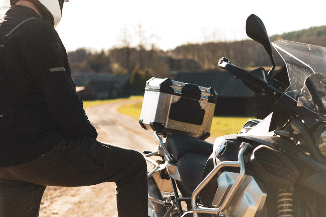
What this tour is
Klaipėda was called Memel for six centuries. In March 1939 Hitler announced its annexation from a balcony above Theater Square. In January 1945 the last soldiers held the port while a million refugees tried to cross the frozen lagoon. This tour follows what happened in between — and what the Soviet occupation built on top of it.
Seven days of country roads, coastal tracks and forest trails through Lithuania. The Curonian Spit, the Nemunas defensive line, the 1941 tank battlefields, the partisan forests of the interior and the Samogitian front where the Wehrmacht held its last enclosed position in the East until May 1945.
The tour starts and ends at the DFDS ferry terminal in Klaipėda. Ferry from Kiel departs 12 June, arrives 13 June at approximately 20:00 — accommodation for the night of 13 June is included. The tour itself begins the morning of 14 June.
Route highlights
- Festung Memel fortifications and coastal gun emplacements
- Curonian Spit — Thomas Mann Villa and Parnidis Dune
- Raseiniai battlefield — the KV-2 tank incident, 1941
- Kaunas IX Fort — Nazi killing site, now a memorial
- Daugantai partisan bunker network, active into the 1950s
- Samogitian front trench remnants, Plungė forests
- Operation Hannibal debrief at Klaipėda port
The itinerary
Daily distances and overnight locations. Accommodation is pre-booked on all tours.
Meet at the DFDS ferry terminal — the same quay where, in January 1945, the final evacuation of Festung Memel began. Morning briefing and kit check, then a short ride into the Old Town. Theater Square, where Hitler announced the annexation of Memel in March 1939. The castle ruins that formed the core of the last German defensive perimeter in the East. First night in Klaipėda.
Down the Curonian Spit — a 98 km sand peninsula with no junctions and forest tracks throughout. The Thomas Mann Villa in Nida, seized by Göring in 1939 for use as a hunting lodge. The Parnidis Dune, from which the Kaliningrad region (former East Prussia) is clearly visible — the route the refugees took across the frozen lagoon in 1945 is directly below. North along the lagoon shore to the Schweinshrücken anti-aircraft battery and the Giruliai coastal gun emplacements, the seaward face of Festung Memel. Overnight in Rusnė on the Nemunas delta.
East along the river the German Army used as a natural defensive barrier in the winter of 1944–45. Ventės Ragas lighthouse at the lagoon mouth. The Luise Bridge crossing at Panemunė — the portal arch on the Sovetsk (Tilsit) side is visible from the Lithuanian bank. Rambynas Hill, the best viewpoint over the Nemunas and the former East Prussian border. Overnight at Panemunė Castle.
The route crosses the path of the German armoured advance in the opening days of Operation Barbarossa, June 1941. The Dubysa bridge at Ariogala — a critical crossing point in the tank battles. The Raseiniai battlefield, where a single Soviet KV-2 tank held up the entire German 6th Panzer Division for two days. South to the IX Fort at Kaunas — a Tsarist fortress repurposed as a Nazi killing site where over 30,000 people were murdered between 1941 and 1944. Dinner included. Overnight in Kaunas.
East into the lakes and forests of central Lithuania, the landscape where the anti-Soviet partisan resistance survived longest. The Daugantai bunker network, still operational as late as the 1950s. The Anykščiai narrow-gauge railway, used for wartime logistics by both occupying armies. Puntukas stone and the forest treetop walk for contrast. Dinner, hot tub and sauna evening at Gradiali resort. Overnight in Anykščiai.
Northwest into Žemaitija — the region where the front line stabilised in October 1944, cutting off Army Group North from the rest of the Eastern Front. The Wehrmacht held this pocket until the German surrender in May 1945. Forest tracks through the Plokštinė area where German observation posts monitored the Soviet build-up. Trench and fieldwork remains visible in the tree line around Plungė. Overnight at Vilkdvaris manor.
Return to Klaipėda for the final session at the port — Operation Hannibal, January–May 1945, the largest sea evacuation in history: over 900 ships, more than two million people. The DFDS terminal is the departure point for the same crossing. Debrief, ride-out, ferry.
What's in the price
- ✓6 nights accommodation (hotels and manor houses), all with breakfast
- ✓Dinner on Day 4 in Kaunas
- ✓Dinner on Day 5 in Anykščiai
- ✓Hot tub and sauna session, Gradiali resort, Anykščiai
- ✓All tolls and road fees during the tour
- ✓Internal ferries (Klaipėda–Smiltynė crossing and Rusnė delta)
- ✓All excursions and local expert guides
- ✓GPX route files
What to budget for
- ✗International ferry Kiel → Klaipėda (departs 12 June, arrives 13 June ~20:00) — approx. €180–380 depending on cabin
- ✗Fuel
- ✗Meals not listed in inclusions
- ✗Drinks
- ✗Personal expenses and souvenirs
- ✗Travel and medical insurance
- ✗Motorcycle hire (available on request)
- ✗Riding gear and equipment
- ✗Single room supplement (available on request)
Available dates
- 14–20 June 2026 Places available