The Courland Pocket
Six days through the last German holdout on the Eastern Front. Deep gravel, forest tracks and the battlefields of western Latvia — the Courland Pocket held until the war was already over everywhere else.
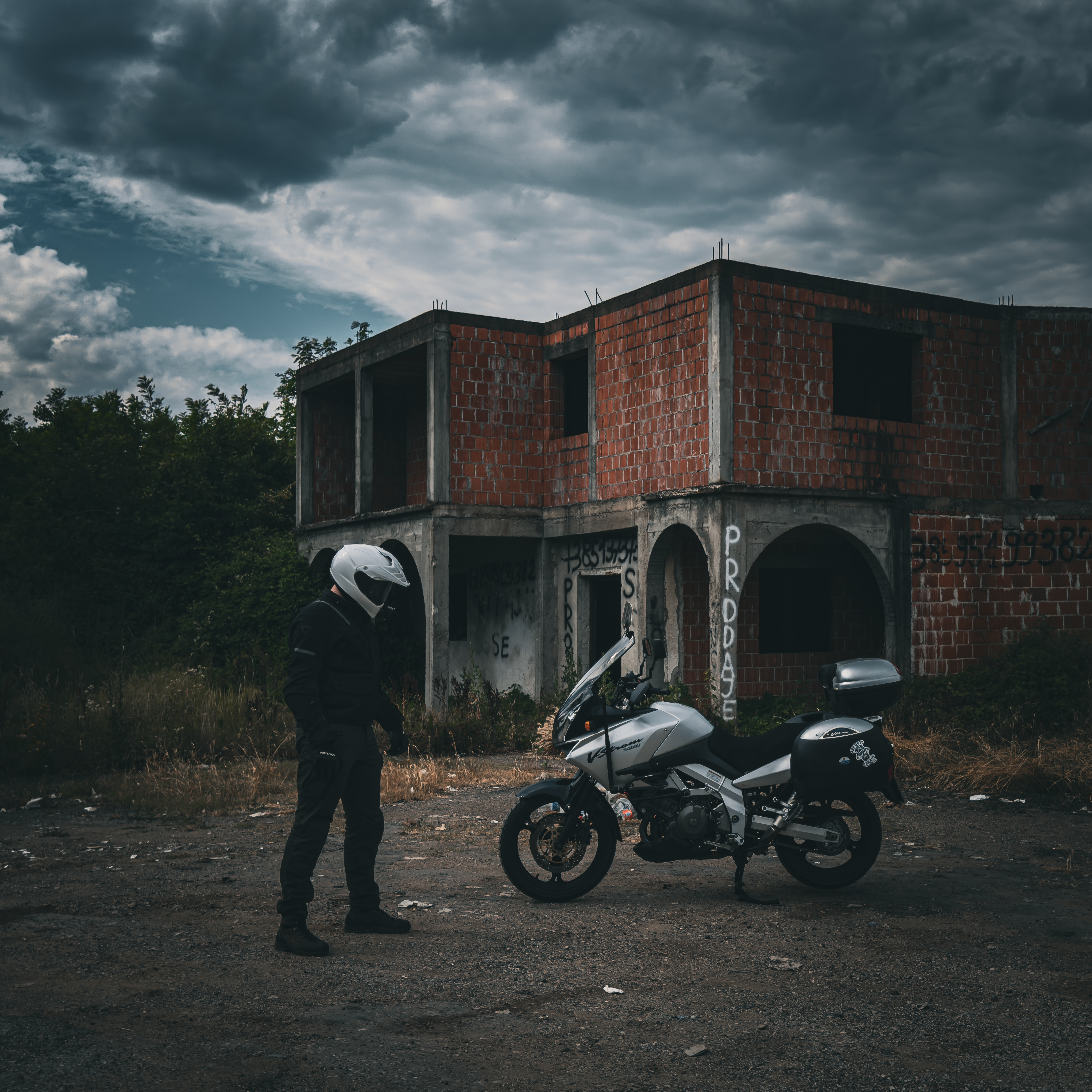
What this tour is
In October 1944, Army Group North was cut off from the rest of the Eastern Front. Two hundred thousand German soldiers held a pocket of western Latvia — the Courland Peninsula — against repeated Soviet attempts to break through. They held it until 8 May 1945, six days after Berlin fell. The men who survived called it the Courland Pocket. The men who didn’t are in the forests.
Six days through western Latvia on deep gravel and sandy forest tracks. The Zante Tank Museum — armoured vehicles recovered from the surrounding fields, some still live when found. The ghost town of Skrunda-1, built to house the crew of a Soviet radar station and abandoned when the radar was demolished under US pressure in 1995. The trench systems in the forests near Saldus where the front line held for seven months. The terrain does not let you forget what happened in it.
The tour starts and ends in Rīga. It does not leave Latvia.
Route highlights
- Zante Tank Museum — Courland battlefield armour, some recovered live
- Skrunda-1 ghost town — Soviet radar station residential district, abandoned 1995
- Trench systems and front-line earthworks, Saldus forests
- Karosta Soviet naval district — prison, cathedral and barracks, Liepāja
- Cape Kolka — Soviet restricted coastal zone, Baltic meets Gulf of Rīga
- Ventspils Livonian Order castle
- Latvian forest tracks through the former Pocket perimeter
The itinerary
Daily distances and overnight locations. Accommodation is pre-booked on all tours.
Depart Rīga heading southwest. By October 1944, Army Group North had been cut off here — two Soviet offensives had failed to break through, and a third would fail before the war ended. The pocket's eastern perimeter ran roughly through the forests south of Tukums. Ride through Tukums and south to Saldus, which served as the administrative centre of the German-held territory for the duration. Night in Saldus.
The front line ran through the forests east and south of Saldus for seven months. Trench systems, foxholes and earthwork positions remain visible in the tree line along the Lielupe tributaries — not excavated, not maintained, simply present. Sandy forest tracks through the Zemgale lowlands where Soviet armour repeatedly attempted to break through and was stopped each time. The scale of the defensive works is only legible from the road. Night in Saldus.
West to the Zante Tank Museum — a collection of armoured vehicles recovered from the surrounding Courland battlefields and displayed in an open field. Several were found with ordnance still aboard. Continue to Skrunda-1: a ghost town built during the Soviet period to house the operators of an over-the-horizon radar installation. The radar was demolished in 1995 under a US-Latvia agreement. The apartment blocks, school, and cultural centre remain, empty since the military withdrew. Night in Skrunda.
North through the Courland interior to Ventspils — a port closed to civilian use for most of the Soviet occupation, now open. The Livonian Order castle at the harbour mouth. West to Kuldīga, with its wide natural waterfall on the Venta river — the widest in Europe by surface area, low enough to wade across in summer. Night in Kuldīga.
Southwest to Liepāja and the Karosta district — a Soviet Baltic Fleet naval base with its own military cathedral, prison and residential barracks, separated from the city by a canal. The prison operated continuously from the Tsarist period through Soviet occupation; it is now open to visitors. The naval infrastructure was designed to be self-contained and largely was. Night in Liepāja.
North along the Courland coast road to Cape Kolka — the tip of the peninsula where the Baltic Sea and the Gulf of Rīga meet in visible collision. The cape was a restricted military zone throughout the Soviet period; the fishing villages along the coast were cleared. Return to Rīga along the Gulf shore. Debrief and departure.
What's in the price
- ✓5 nights accommodation (hotels and guesthouses), all with breakfast
- ✓All excursions and local expert guides
- ✓All tolls and road fees during the tour
- ✓GPX route files
What to budget for
- ✗International travel to Rīga
- ✗Fuel
- ✗Meals not listed in inclusions
- ✗Drinks
- ✗Personal expenses and souvenirs
- ✗Travel and medical insurance
- ✗Motorcycle hire (available on request)
- ✗Riding gear and equipment
- ✗Single room supplement (available on request)
Available dates
- 6–11 September 2026 Places available