The Iron Curtain Archipelago
Seven days through the Soviet Union's forbidden islands. Coastal gun batteries, abandoned military installations and the pine forests of Saaremaa and Hiiumaa — closed to outsiders until 1991, still carrying the weight of it.
What this tour is
Until 1991, the Estonian islands were not on any map you could buy. Saaremaa and Hiiumaa were classified military zones — entry required a permit from the Soviet Interior Ministry. The islands housed coastal artillery batteries, radar arrays, missile installations and a strategic air base. Most of the infrastructure was never properly decommissioned. It is still there.
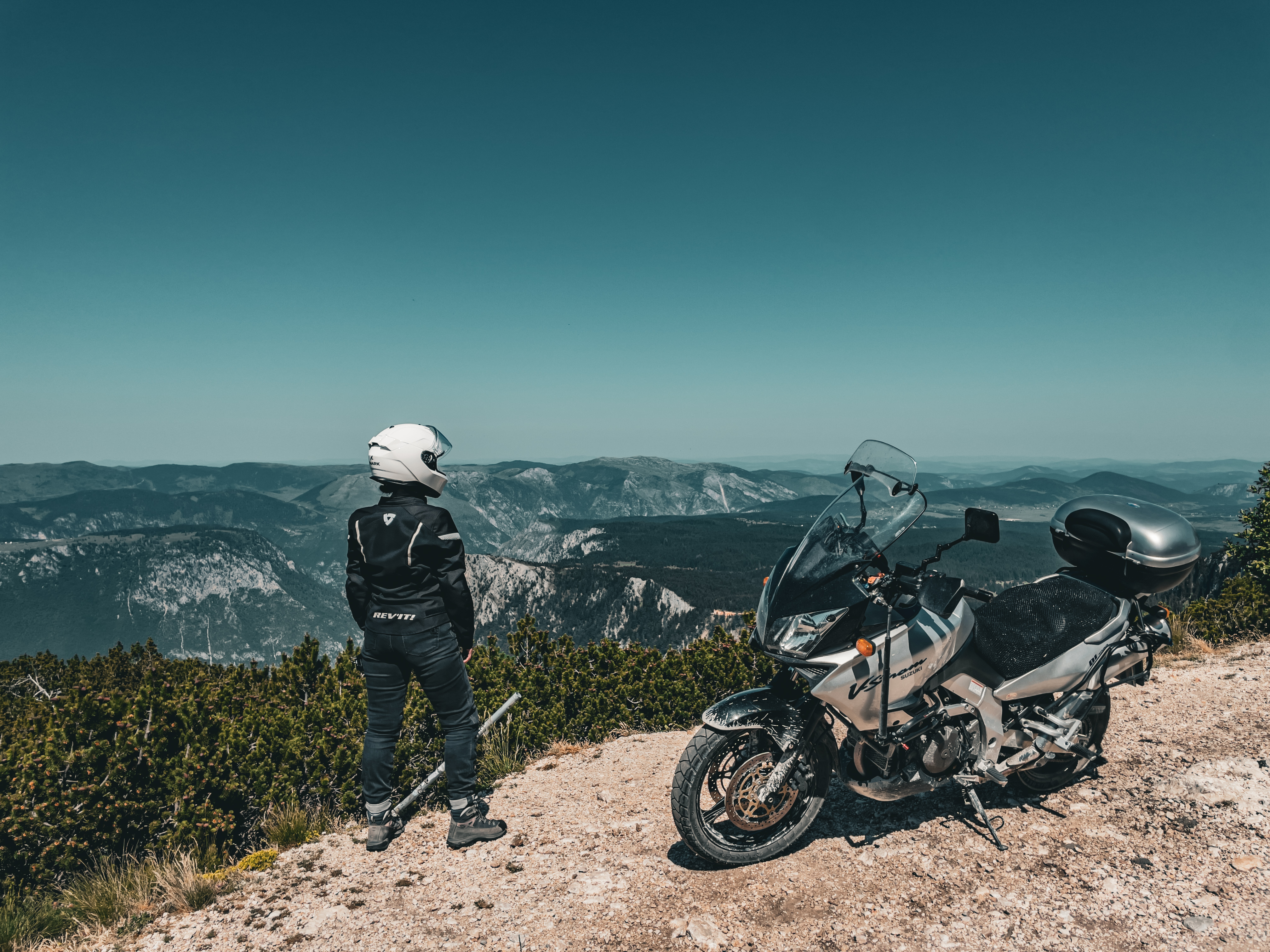
Seven days of coastal gravel, pine forest tracks and narrow island asphalt. Two ferry crossings. The Tehumardi night battlefield, the Stebel battery emplacements, and the abandoned installations in the forests that the Soviet military left behind when they withdrew. The islands have a quality of isolation that is partly geographical and partly historical — they feel lost because, for fifty years, they were.
The tour starts and ends in Tallinn. The first night is in Haapsalu, the last port before the restricted zone began.
Route highlights
- Stebel coastal artillery battery — concrete Soviet gun emplacements, Saaremaa
- Tehumardi night battlefield, September 1944
- Hiiumaa island — closed Soviet military zone until 1991
- Abandoned radar and missile facilities in the Saaremaa pine forests
- Sõrve Peninsula — last German position in Estonia, 1944
- Haapsalu railway station — built for Stalin's state visits
- Island ferry crossings: Rohuküla–Heltermaa and Sõru–Triigi
The itinerary
Daily distances and overnight locations. Accommodation is pre-booked on all tours.
Arrive in Tallinn. Morning briefing and kit check, then ride west along the coast to Haapsalu — a town that was itself a restricted Soviet zone. The railway station at Haapsalu was built with an extended platform to accommodate Stalin's armoured train during state visits; the platform is still there, longer than anything the town could currently need. Night in Haapsalu.
Early ferry from Rohuküla to Heltermaa. Hiiumaa was a restricted zone throughout the Soviet period — the island housed radar installations and served as a buffer for the naval approaches to Tallinn. Entry required Interior Ministry approval. Ride the western coast on narrow asphalt and packed gravel, with almost no traffic. The landscape has not recovered a sense of being visited. Night in Kõrgessaare.
Circumnavigate Hiiumaa. The Tahkuna peninsula in the north — a lighthouse and German WWII defensive positions facing the sea. The Ristna lighthouse on the westernmost point of Estonia. Pine forest tracks through the island interior where Soviet military installations were built away from the coast and away from satellite visibility. Night in Kärdla.
Cross from Hiiumaa to Saaremaa via the Sõru–Triigi ferry. Saaremaa was the most militarised of the Estonian islands — home to a strategic air base, coastal missile batteries, and radar arrays that monitored NATO shipping in the Baltic. Ride south through the forest interior to Kuressaare. The bishop's castle, one of the best-preserved in the Baltic, was used as a Soviet military headquarters for most of the occupation. Night in Kuressaare.
The Tehumardi night battle, September 1944: Red Army forces landed on Saaremaa's southern coast in darkness and encountered German defenders in close-quarters fighting. A monument marks the site. Coastal gravel tracks east to the Stebel battery — concrete Soviet gun emplacements facing the sea, built in the 1950s to defend against NATO surface incursions. The emplacements stand open in the grass, the guns removed, the infrastructure intact. Night in Kuressaare.
South to the Sõrve Peninsula — a narrow strip of land 35 km long that was the last part of Estonia held by German forces. The Wehrmacht held the peninsula until November 1944 to cover the evacuation of Army Group North. Soviet-era radar and missile facilities in the pine forests inland from the main road — some accessible on forest tracks, most unmarked. The peninsula tip, where the sea is visible on three sides. Night in Kuressaare.
Morning ferry back to the mainland. Ride north to Tallinn. Final debrief at the old port — the same harbour through which Soviet military equipment arrived to garrison the islands. The restricted zone began at the water. It ended there too.
What's in the price
- ✓6 nights accommodation (guesthouses and small hotels), all with breakfast
- ✓All island ferry crossings (Rohuküla–Heltermaa, Sõru–Triigi, Kuivastu–Virtsu)
- ✓All excursions and local expert guides
- ✓GPX route files
What to budget for
- ✗International travel to Tallinn
- ✗Fuel
- ✗Meals not listed in inclusions
- ✗Drinks
- ✗Personal expenses and souvenirs
- ✗Travel and medical insurance
- ✗Motorcycle hire (available on request)
- ✗Riding gear and equipment
- ✗Single room supplement (available on request)
Available dates
- 2–8 August 2026 Places available